
"At a marsh in Stange, the ground-penetrating radar measured a depth of nearly 10 metres, which took us a bit by surprise. Considering that bogs grow by about one millimetre per year at our latitude, the carbon stored at the bottom of this bog could date back to when the ice retreated after the last Ice Age, around 10,000 years ago," says Mona Bakke Myrvang, Associate Professor of Agricultural Sciences.
Hamar municipality, in collaboration with Løten and Stange, has received Climate Initiative funding from the Norwegian Environment Agency to map marshes of unknown depth – a project in which the Unviersity of Inland Norway is (INN) is involved. The knowledge gained will provide the municipalities with a better basis for decision-making when it comes to land-use changes in carbon-rich areas.
What can the depth tell us?
"For example, if there are two areas to choose between for a housing development, having this knowledge means we can choose the area that will have the least negative impact on the climate and/or nature," says Lise W.D. Urset, Head of Climate and Environment at Hamar Municipality.

There is great potential to reduce greenhouse gas emissions through municipal planning, for example by preserving carbon-rich areas and facilitating climate-friendly development.
INN has been commissioned to carry out the marsh mapping. The municipalities have selected strategically important bogs, and municipal surveyors produce map files that INN uses in the field. The data collected – such as type, depth, and carbon content – is then updated in maps used for land-use planning.
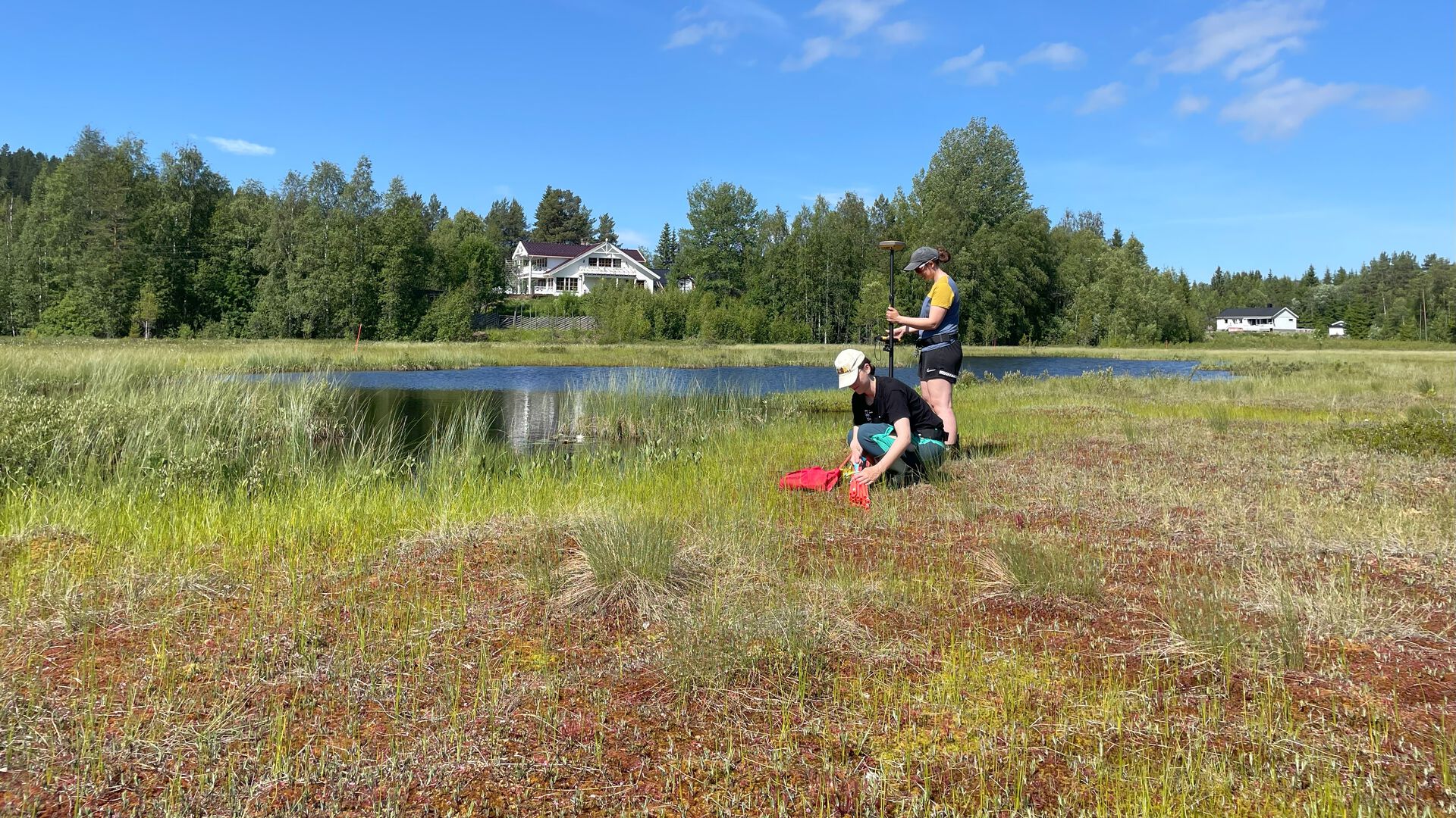
"We systematically measure the depth across the bog. The points are georeferenced using RTK – and the depths are measured with marsh probes and ground-penetrating radar. The radar uses electromagnetic waves to determine the distance to the bottom of the peatland. Marsh samples are also taken to analyse the carbon content," explains Myrvang.
Together with her colleague Peder Lombnæs, she is responsible for the fieldwork in this project. Preliminary results show that several marshes in Hamar, Løten, and Stange are more than five metres deep.
An important summer job for the students
However, the most important people in the fieldwork are the students from Evenstad and Blæstad, employed as field technicians. The students carry out the practical mapping work in the field, closely supervised by experts from the municipalities and INN.
Four meters plus.
Mona Bakke Myrvang
"Working on projects like this is incredibly rewarding. Both being out in the field, but also working with the data afterwards and seeing the report take shape. Having questions about how things are and how they work, and actually contributing to finding the answers – that’s what makes this kind of research so much fun and so motivating," says Siri Graff.
Graff holds a master’s degree in applied ecology, and she took part in a similar project in Kongsvinger in 2023. She is now employed to help map the marshes.
It is said that the students are independent and solution-oriented, and enjoy being outdoors. This is essential, as they spend long days working in scorching sun, wind, and rain.
"I’m responsible for their safety, so I sometimes take on a bit of a motherly role. There was one day when thunderstorms were forecast. I didn’t allow them to go out onto the bog with long probes, so it turned into an office day instead," says Myrvang.
.jpeg)
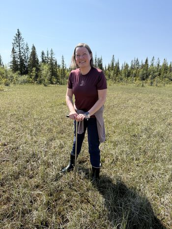
Siri Graff conducting vegetation mapping and marsh depth measurements in Stenfjellia, Hamar Municipality.
Photo: Mona Bakke Myrvang

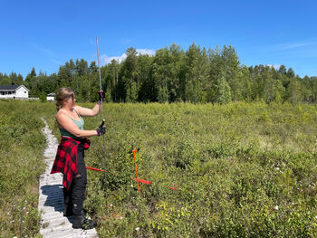
Lise W. D. Urset measures marsh depth with a peat probe at “Haremyra,” south of Stenfjellia in Hamar Municipality.
Photo: Mona Bakke Myrvang
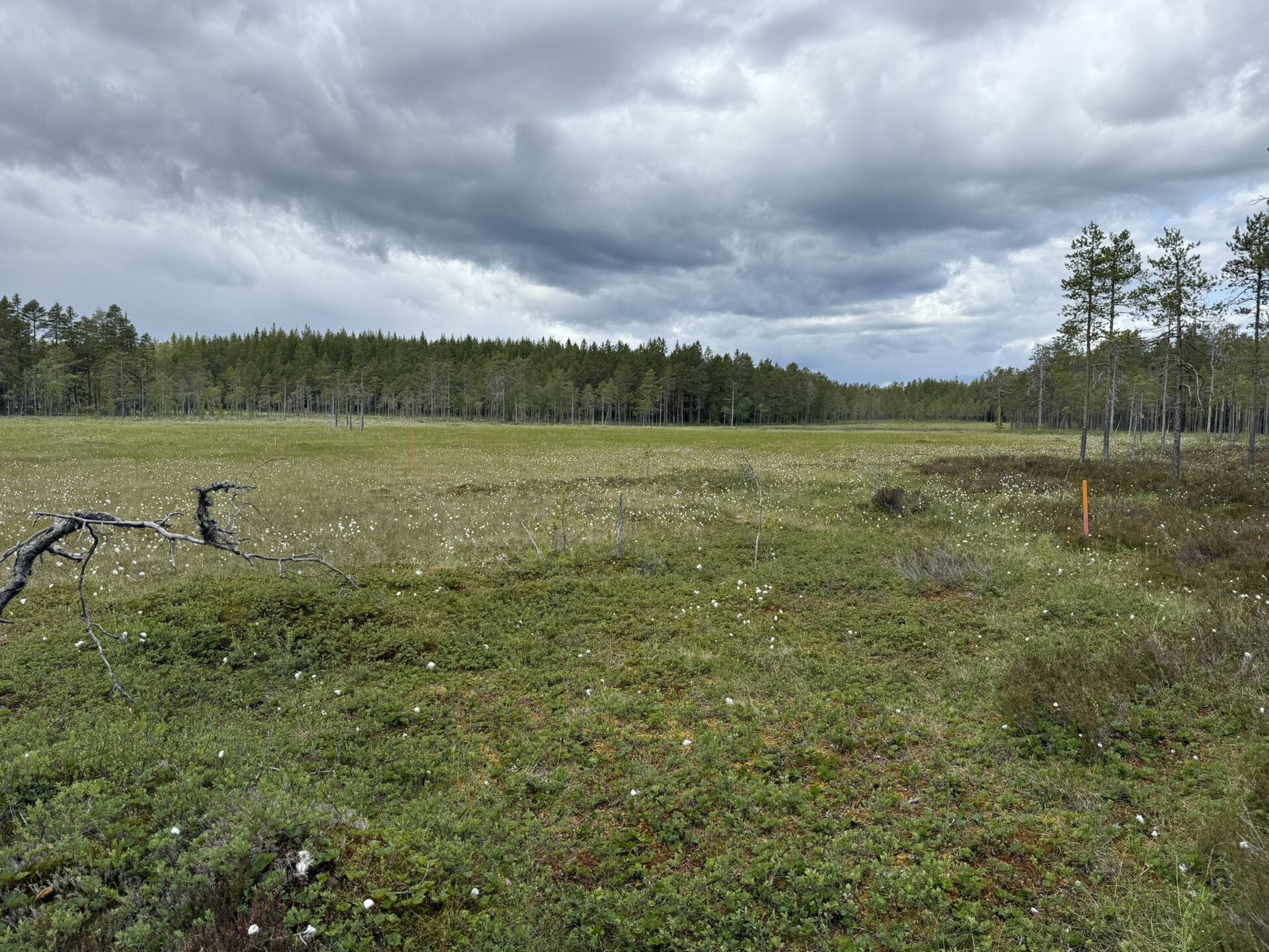
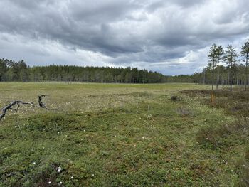
Skallbergkjølen in Stange Municipality. At one location, marsh depth of nearly 10 metres was measured using ground-penetrating radar.
Photo: Private
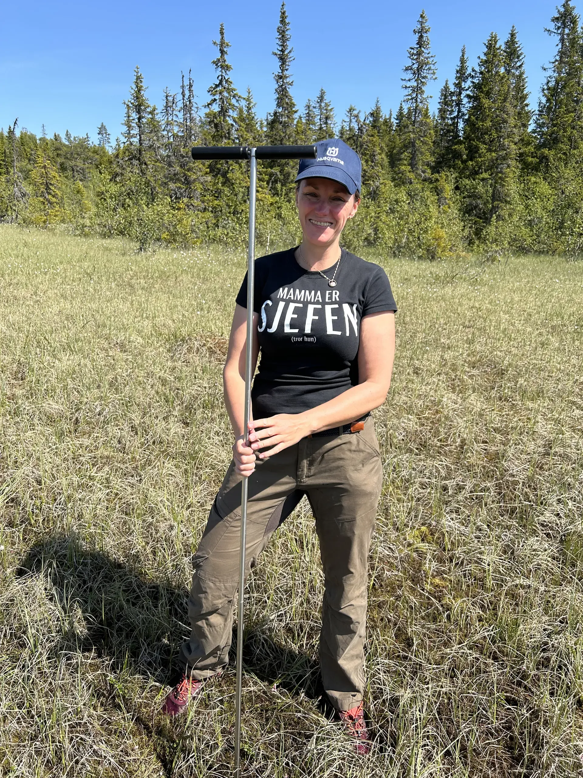
Mona Bakke Myrvang supervises the students in the field.
Photo: Lise W. D. Urset
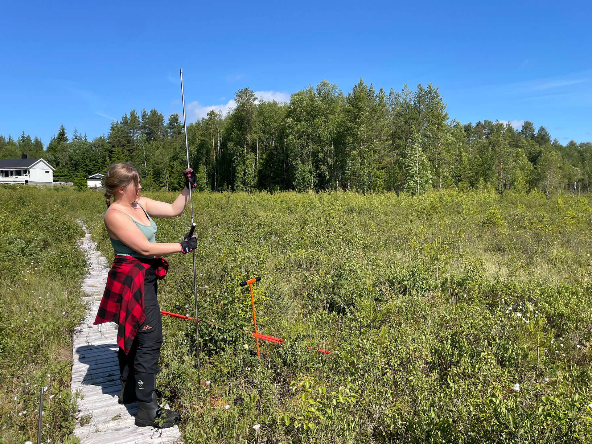
Siri Graff attaches an extension to the peat probe at Nordre Brubakken.
Photo: Private
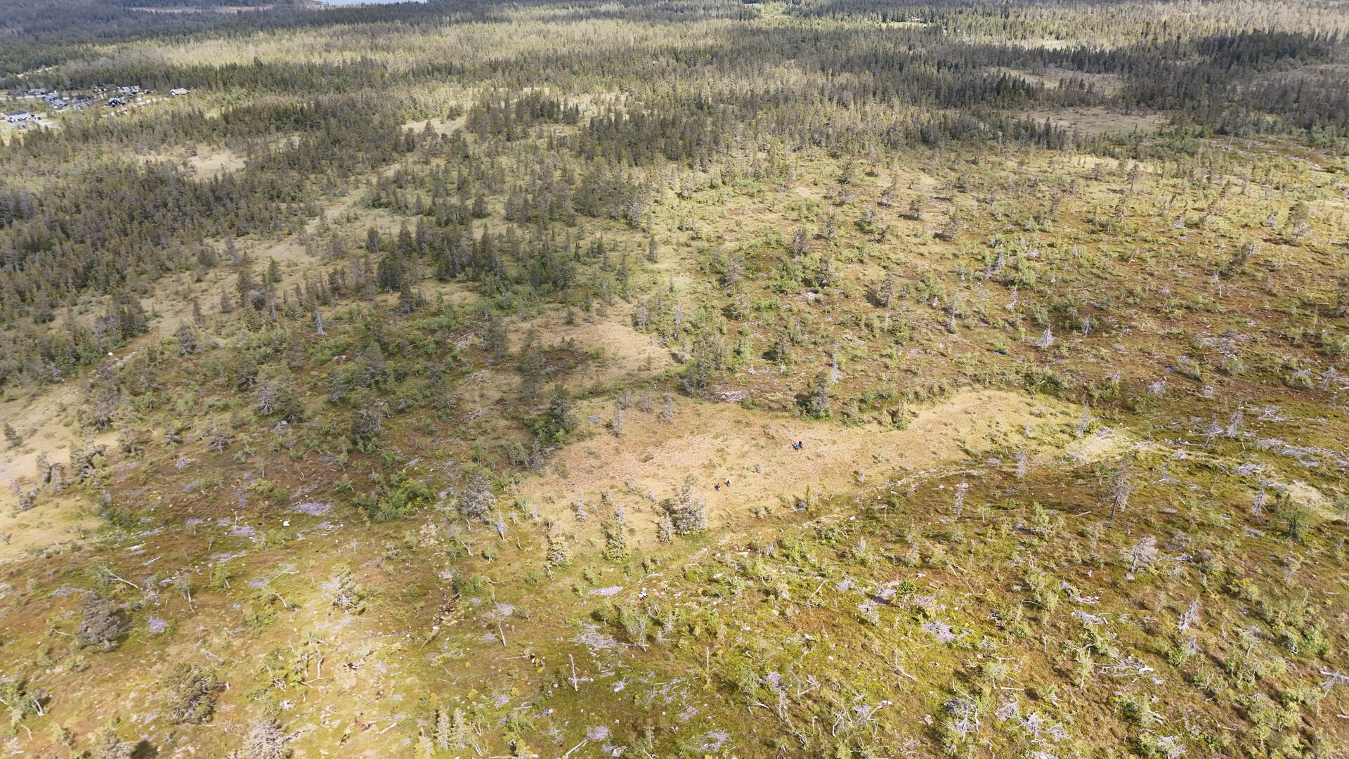
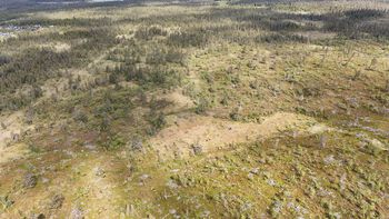
Drone image of the marsh landscape.
Photo: Per Alhaug
.jpeg?alt=thumbnail)

After the fieldwork, the students process the data in the laboratory at Blæstad. The data needs to be organised, and peat samples must be analysed.
"Depth measurements, marsh samples, and information from the vegetation surveys are entered into the carbon calculator CarbonViewer, an app developed by the Norwegian Institute for Nature Research (NINA) in collaboration with NTNU. CarbonViewer produces maps with interpolated marsh depths, as well as figures for peat volume and carbon content. It is currently used in several peatland projects in Norway," explains Myrvang.
INN will produce a technical report from the fieldwork for the municipalities.
"It’s motivating to have a summer job that’s relevant both to my studies and to society, and it’s great to be able to contribute to the municipalities’ knowledge base. Both the degree programme and this summer job are about knowledge-based management of outlying land," says Johanne Boye, a bachelor’s student in outfield management.
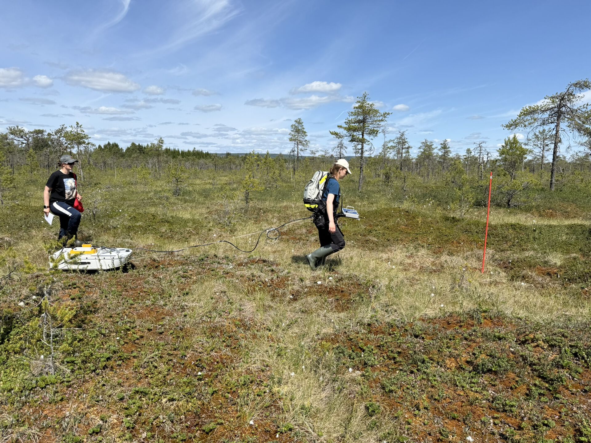
Boye and fellow student Elise Arnesen are among those responsible for surveying the marshes.
"The most important lesson from this summer job is that it’s essential to take the time to go out and investigate the nature you’re going to manage. Nature changes, and it doesn’t always match what the maps show," says Arnesen.
There is also an additional student from Blæstad who has taken on significant responsibility for vegetation mapping, soil sampling, and soil analysis in the laboratory.
Contact information:

- mona.myrvang@inn.no
- Phone
- +47 61 28 74 20